
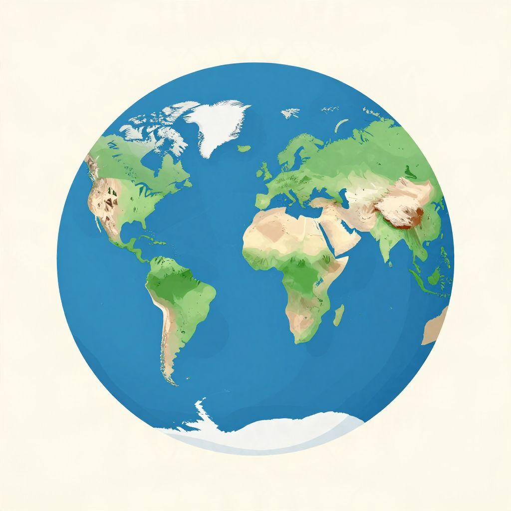
What did Pangea look like? In the simplest terms, it was a giant supercontinent: nearly all of Earth’s land joined together into one massive, C-shaped landmass surrounded by a single global ocean. It existed long before humans, during the late Paleozoic and early Mesozoic eras, and its shape changed slowly as tectonic plates shifted.
Pangea is important because it helps explain why continents fit together, why fossils appear on now-separated lands, and how Earth’s climate and life were transformed by moving plates.
What did Pangea look like?
Pangea looked like an enormous connected landmass that brought today’s continents into one place. Africa sat near the center, with South America tucked against its western side, North America and Europe joined farther north, and Antarctica, India, Australia, and parts of Asia attached around the edges. It was not a perfect puzzle piece, but a broad, irregular supercontinent.
A single landmass with a giant ocean around it
The word Pangea means “all Earth” in Greek, and that is a good visual clue. Instead of multiple continents separated by wide oceans, there was one vast continent ringed by the immense ocean known as Panthalassa. A smaller sea, the Tethys Ocean, lay between parts of the northern and southern landmasses as Pangea began to break apart.
Why the shape is not exact on every map
There is no single perfect map of Pangea. Scientists reconstruct it from evidence such as matching coastlines, fossil distributions, rock layers, and the movement of tectonic plates. Because continents have continued to move and coastlines change over time, different reconstructions may place the pieces slightly differently. The overall picture, however, is well established.
How did Pangea form?
Pangea formed gradually as earlier continents collided over hundreds of millions of years. By about 335 million years ago, Earth’s land was already clustering into large masses. The final assembly of Pangea is usually dated to roughly 335 to 300 million years ago, during the late Carboniferous and Permian periods, when collisions welded together the major continental blocks.
Plate tectonics made the supercontinent possible
Pangea existed because Earth’s crust is divided into moving plates. Over immense spans of time, these plates drift, collide, and separate. When continents collide, they do not simply stop; they crumple, uplift mountain ranges, and fuse into larger landmasses. Pangea is one of several supercontinents in Earth’s history, not a unique one.
Mountain building marked the collisions
The assembly of Pangea was accompanied by major mountain-building events. The Appalachian Mountains in North America and the Variscan or Hercynian mountain belts in Europe formed in part during these collisions. These ranges are clues that continents once pressed together with enormous force.
What was the layout of Pangea?
The layout of Pangea can be imagined as a huge, uneven landmass with a northern and southern sense of balance. The northern part is sometimes called Laurasia, and the southern part Gondwana, though those names are more often used for the later stages of breakup. Africa occupied a central position, with other continents arranged around it.
North America, Europe, and Asia
North America was connected to parts of Europe and Greenland in the northern region of Pangea. Much of what is now western and central Europe was joined to North America before the Atlantic opened. Asia’s position is more complex because the continent was assembled from several blocks over time, but parts of it were attached to the northern supercontinent.
South America and Africa
South America and Africa fit together especially well in reconstructions of Pangea. Their coastlines are often shown as a near-match, though the actual fit is based more on continental shelves than modern shorelines. This connection is one of the strongest visual pieces of evidence for continental drift.
Antarctica, India, and Australia
The southern lands were grouped into Gondwana, which included Antarctica, Australia, India, Africa, South America, and the Arabian region in earlier stages. India was not yet isolated as it is today; it was part of the southern landmass and later drifted northward at a remarkable pace after Pangea broke apart.
What did the world around Pangea look like?
Pangea was not just a shape on a map; it changed the entire planet’s environment. With one giant continent, Earth had a very different climate pattern than it does today. Vast inland areas were far from the moderating influence of oceans, which likely made many regions hotter, drier, and more seasonal.
Dry interiors and strong seasons
Because so much land was concentrated in one place, moisture from the oceans had a harder time reaching the interior. Large desert belts likely formed in the middle of Pangea. At the same time, the supercontinent’s huge size may have intensified seasonal extremes, with hot summers, cold winters, and strong monsoon-like systems in some regions.
Life moved across connected land
One of the most important consequences of Pangea was biological exchange. Animals and plants could spread across connected land without needing to cross oceans. That helped some species disperse widely, while also allowing predators, competitors, and diseases to move across vast regions. Fossils found on different continents often make sense only if those lands were once joined.
How do scientists know what Pangea looked like?
Scientists reconstruct Pangea using multiple lines of evidence rather than a single clue. The most famous is the jigsaw-like fit of continents, but that is only the beginning. Rock formations, mountain chains, ancient glacial deposits, and fossils all help show that now-separated continents were once connected.
Fossils on different continents
Identical or closely related fossils have been found on lands now separated by oceans. For example, plants and animals from the late Paleozoic and early Mesozoic appear in regions that would have been neighbors on Pangea. These patterns are difficult to explain unless the continents were once joined.
Matching rocks and mountain belts
Geologists also compare rock layers and mountain ranges across continents. When the age, structure, and composition of rocks match on opposite sides of an ocean, it suggests they formed together before the landmasses split. This evidence is especially persuasive when it lines up with fossil data and plate reconstructions.
Ancient climate clues
Glacial scratches, desert sediments, coal deposits, and other climate markers help reveal where continents once sat. Some regions that are warm today show signs of ancient ice, while others preserve evidence of tropical environments. These clues help scientists place continents in their former positions and estimate Pangea’s appearance.
When did Pangea exist, and when did it break apart?
Pangea existed roughly from about 335 million years ago until it began breaking apart in the early Jurassic, around 200 million years ago. The breakup was not sudden. It happened in stages over tens of millions of years, eventually creating the Atlantic Ocean and the continents we recognize today.
A timeline of Pangea
- Late Carboniferous to Permian — continental collisions assemble Pangea.
- Permian period — Pangea reaches its most complete form.
- Early Triassic — the supercontinent remains intact, but interior climates are harsh.
- Late Triassic to Early Jurassic — rifting begins and land starts to split.
- After about 200 million years ago — breakup accelerates, leading to the opening of the Atlantic.
Why it broke apart
Pangea broke apart because tectonic forces continued to act on the crust. Heat from Earth’s interior, mantle convection, and stresses within the supercontinent contributed to rifting. Once cracks formed, magma rose, the crust thinned, and new ocean basins developed. The process was slow on human timescales but dramatic in geological terms.
Why does Pangea matter historically and scientifically?
Pangea matters because it changed the course of Earth’s biological and geological history. It influenced evolution by connecting habitats, shaped climate by altering ocean circulation and rainfall patterns, and set the stage for later continental arrangements. It also gave scientists a powerful way to understand plate tectonics and Earth’s deep past.
Impact on evolution and extinction
The supercontinent’s formation and breakup affected where species lived and how they evolved. Connected land allowed some organisms to spread widely, but changing climates and habitats also created pressure for adaptation. The end of the Permian period, the largest mass extinction in Earth’s history, occurred during Pangea’s existence, though it was caused by multiple complex factors rather than the supercontinent alone.
Impact on oceans and climate
When continents gather into one mass, oceans reorganize around them. That changes currents, heat distribution, and rainfall. Pangea likely contributed to strong interior aridity and altered global circulation. When it broke apart, new coastlines and seaways reshaped marine life and climate patterns again.
What Pangea was not
It is easy to imagine Pangea as a single neat continent with modern coastlines simply pushed together, but that is not quite right. It was not a perfect map of today’s continents. It also did not exist all at once in the exact shape often shown in classroom images. Those maps are reconstructions, useful and evidence-based, but still approximations.
Common misconceptions
One misconception is that the continents “fit” only because their modern shorelines are shaped like puzzle pieces. In reality, scientists use continental shelves and geological evidence, not just coastlines. Another misconception is that Pangea was the only supercontinent. Earth has likely had several, including Rodinia and earlier ancient land assemblies.
So, what did Pangea look like in one sentence?
Pangea looked like one enormous, irregular supercontinent with Africa near the center, the Americas attached to its sides, northern lands joined above, southern lands clustered below, and a vast global ocean surrounding it. It was a world of connected land, shifting climates, and the first great stage of modern continental geography.
Pangea is a reminder that Earth’s surface is always changing, even when the changes are invisible in a human lifetime. If you want related context, you may also enjoy reading about how Earth got its name and how humans survived the Ice Age.